The Anxiety of the Horizon
The megalithic phenomenon was not a cultural virus creeping slowly down the Atlantic coast. The builders of the Alentejo did not wait for architectural blueprints from the Cantabrian mountains, nor were they copying the drowning tribes of Brittany. Instead, megalithism was an independent, spontaneous architectural solution. It was a tactic employed only when a local population hit a demographic wall and their specific environment could no longer sustain them. In northern Spain, that trigger was claustrophobia, agro-pastoralists trapped against impassable mountains. But as we move south into the Tagus Valley and the vast plains of Portugal, the ecological trigger changes entirely.
It is important to note that the Iberian Atlantic façade is dense with lithic history. Portugal alone boasts hundreds of megalithic structures scattered from the green, rain-swept mountains of the Minho in the north down to the coastal Algarve in the south. However, to truly understand how a collapsing climate forged its own unique iteration of the "Architecture of Anxiety", we must focus our lens on the region where the environmental shift was most dramatic, and the architectural response most extreme: the Tagus Valley and the vast, arid plains of the Alentejo. Here, the territorial panic fractured into two distinct fronts.
The first front was the hyper-abundant Atlantic coast. Where the great Tagus and Sado rivers empty into the sea, the environment offered a wealth of marine resources whilst the forested hinterland held abundant game. For the entrenched Mesolithic hunter-gatherers of the sixth millennium BCE, this was their Garden of Eden. Yet, extreme abundance breeds its own unique crisis. As coastal populations exploded, the density of competing tribes forced them to stake aggressive territorial claims. Long before the first Neolithic dolmen was raised in the north, these southern foragers built monuments of shell and bone, piling their ancestors high into massive concheiros (shell middens) to prove their ownership of the estuaries.
The second front lay inland. Step away from the coast and you enter the rolling expanses of the Alentejo. Today, this is an ocean of golden, sun-baked plains, rolling hills and stands of cork oak, stretching infinitely to the horizon. But when the first Neolithic farmers pushed into this region, they were stepping into a totally different world.
To understand the stones of the south, we must understand the collapse of their climate. The paleo-environmental record, drawn from pollen cores, cave speleothems, and lake sediments, reveals a tragic, three-act ecological play (Carrión et al., 2010):
The Baseline: The Holocene Optimum (c. 6000 – 4500 BCE)
When agriculture first arrived, the Earth was experiencing a golden age of moisture. The Atlantic weather systems that today bring rain primarily in the winter were tracking further south, lingering over the Iberian Peninsula to deliver year-round rainfall (Fletcher et al., 2007). The ancient Alentejo was not a dry plain, but a highly forgiving landscape cloaked in dense, moisture-loving oak and pine forests. You could plant crops almost anywhere, and the rivers ran high all year. The early agro-pastoralists thrived, and their populations multiplied.
The Tipping Point (c. 4500 – 3500 BCE)
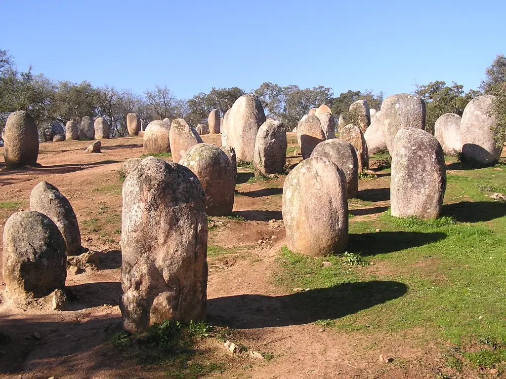
Then, the climate trap sprang shut. Around 4500 BCE, global climate mechanisms shifted, and the reliable Atlantic rains retreated northward. The most devastating change for the farmers was the birth of the modern "Mediterranean climate", specifically, the introduction of the brutal, bone-dry summer. It was not an overnight apocalypse, but a slow, multi-generational strangulation. Grandparents would tell stories of streams that flowed in August to their grandchildren who inherited seasonal dust bowls where rivers only flowed in December. As the great forests died off and were replaced by drought-resistant scrub, social friction skyrocketed. Communities were suddenly forced into intense competition over shrinking resources. It is no coincidence that right at this tipping point, around 4000 BCE, we see the foundation of the Almendres Cromlech, a colossal stone circle designed as a "Parliament of the Plains" to manage the rising panic and negotiate territory without warfare (Calado, 2001).
The Arid Climax (c. 3500 – 2500 BCE)
By 3500 BCE, the aridification was absolute. The water tables had dropped permanently. Agriculture was now strictly confined to the immediate floodplains of the major rivers and the few remaining year-round springs. The vast spaces between these water sources became hostile, baked earth. Survival meant maintaining absolute, exclusive control over these vanishing lifelines.
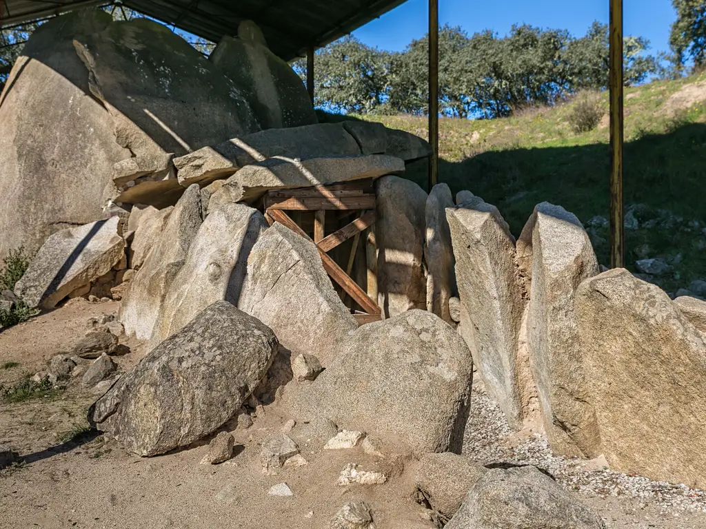
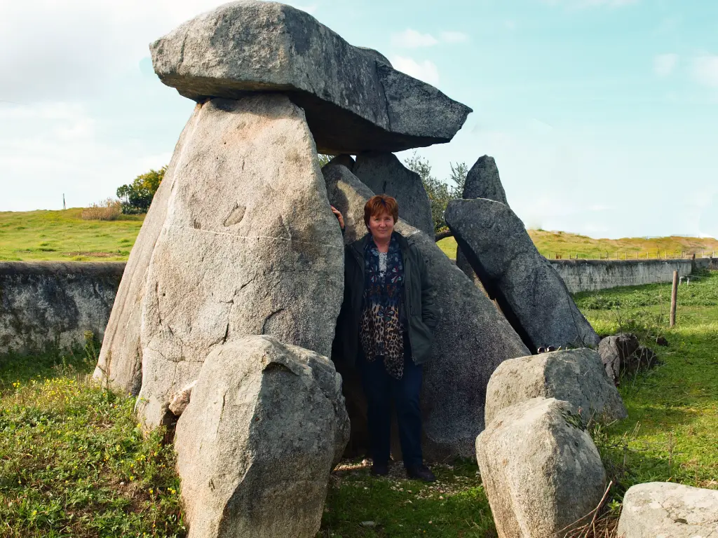
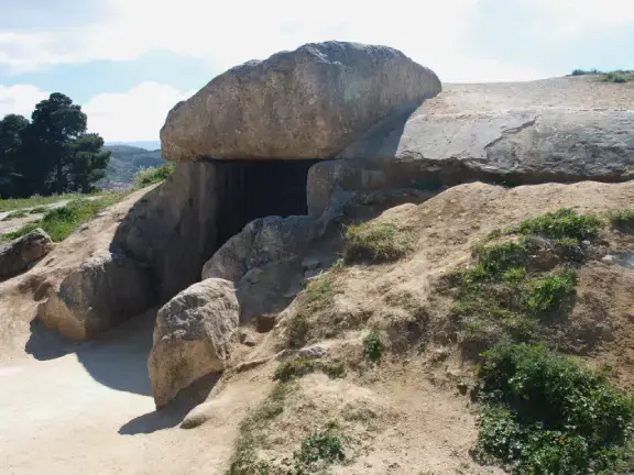
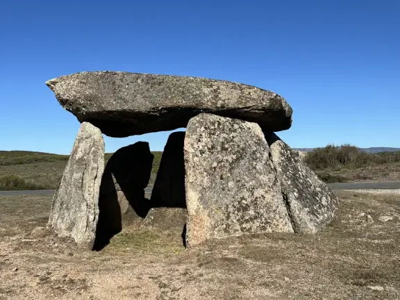
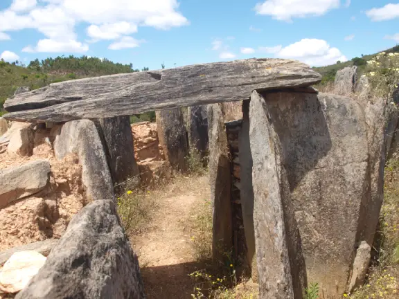
This ecological climax demanded a radical shift in the "Architecture of Anxiety." In a landscape this wide, flat, and unforgiving, a modest stone box would be instantly swallowed by the grass and shrubs. To hold a permanent water source, a lineage had to shout. As the drought peaked, elites erected immense passage graves like the Anta Grande do Zambujeiro (c. 3500–3000 BCE) as imposing, undeniable property lines (Kalb, 1989).
In Portugal, the enemy was no longer the mountain or the tide. The enemy was the changing climate, and the terrifying vision of a drying landscape.